

Application of high-resolution remote sensing technique to earthquake studies in China
-
摘要: 本文概述了我国高分辨率遥感技术在地震监测预报、灾害预防和应急救援防震减灾三大业务体系中的应用现状,重点介绍了“高分遥感地震监测与应急应用示范”项目的进展.该项目针对防震减灾业务体系发展的应用需求,在整合地震行业现有技术和资源的基础上,突破了高分辨率对地观测系统卫星遥感数据在地震构造调查、地震监测和地震应急救援等方面应用的关键技术,制定行业应用规范,建设高分遥感地震业务应用示范系统,并开展应用示范.该项目的成功实施,使得我国高分辨率遥感技术在地震中的应用从以往分散的科学研究提升到一个业务化应用的状态,从而能更加有效地服务于防震减灾工作.Abstract: This paper summarizes current applications of high-resolution remote sensing technique to earthquake monitoring and prediction, earthquake disaster prevention, and earthquake disaster emergency response for earthquake disaster mitigation in China, especially focuses on progress of the project about application of high-resolution remote sensing to earthquake monitoring and emergency response. To meet the requirements of earthquake disaster mitigation, the techniques and resources in China Earthquake Administration (CEA) are integrated to solve the key problems of applying high-resolution remote sensing data acquired by China High-Resolution Earth Observation System (CHEOS) to seismotectonic investigation, earthquake monitoring, and emergency response. Application criteria are formulated, an application system is constructed for earthquake professional work, and practical work is carried out at test sites. With the successful implement of the project, the application of high-resolution remote sensing to earthquake science is promoted from individual researches to systematic practices, providing better services for earthquake disaster mitigation in China.
-
-
![]()
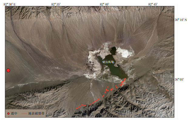
图 1 高分遥感地震监测与应急应用示范系统研制总体方案
Figure 1. Framework for the application system of high-resolution remote sensing to earthquake monitoring and emergency response
-
中华人民共和国国务院. 2006. 国家中长期科学和技术发展规划纲要(2006—2020年)[EB/OL]. [2015-09-21]. http://www.gov.cn/jrzg/2006-02/09/content_183787.htm. The State Council of the People's Republic of China. 2006. Outline of the national medium-and long-term planning for development of science and technology (from 2006 to 2020)[EB/OL]. [2015-09-21]. http://www.gov.cn/jrzg/2006-02/09/content_183787.htm (in Chinese).
Chen L, Shen X, Hong S, Shao Y. 2011. Estimation of the building damages in Yushu earthquake based on ALOS SAR data[C]//Proceedings of SPIE-MIPPR 2011: Remote Sensing Image Processing, Geographic Information Systems, and Other Applications. Guilin, China: SPIE: 800626. doi: 10.1117/12.901873.
 下载:
下载:

计量
- 文章访问数: 784
- HTML全文浏览量: 463
- PDF下载量: 51
